GIS & Remote Sensing - 45 Days Internship Training Program
Join 45 Days GIS & Remote Sensing Internship Training Program at NextVision Infotech. Learn GIS, remote sensing, spatial analysis, mapping. ₹649 only with certificate.
Program Description
Skills You'll Learn
Projects You'll Work On
Complete GIS & Remote Sensing Project
Students will complete a full GIS project including spatial data creation, georeferencing, remote sensing image analysis, image classification, spatial analysis, map creation, and complete project documentation as per industry standards.
Program Modules
W1: Week 1: GIS Fundamentals and Spatial Data
Introduction to GIS, components of GIS, GIS applications, spatial data types - vector data (points, lines, polygons), raster data, attribute data, tabular data, spatial data models, vector data model, raster data model, data structures, topology, geodatabase, shapefiles, feature classes, attribute tables, metadata.
W2: Week 2: Coordinate Systems and Map Projections
Coordinate systems, geographic coordinate system, projected coordinate system, latitude and longitude, datum, WGS84, UTM, map projections, types of projections, cylindrical, conic, azimuthal, projection parameters, scale factor, coordinate transformation, georeferencing, geocoding, address matching, spatial reference.
W3: Week 3: Remote Sensing Principles and Satellite Imagery
Introduction to remote sensing, electromagnetic spectrum, energy interaction with atmosphere, energy interaction with earth surface, reflectance, emittance, sensors, passive sensors, active sensors, resolution - spatial, spectral, temporal, radiometric, satellite platforms, Landsat, Sentinel, MODIS, IRS, satellite imagery, image formats, image metadata.
W4: Week 4: Image Interpretation and Classification
Image interpretation, visual interpretation, elements of image interpretation, tone, texture, pattern, shape, size, shadow, association, site, digital image processing, image enhancement, image transformation, image classification, supervised classification, unsupervised classification, accuracy assessment, confusion matrix, kappa coefficient, vegetation indices, NDVI.
W5: Week 5: Spatial Analysis and Live Projects
Spatial analysis, overlay analysis, buffer analysis, proximity analysis, network analysis, surface analysis, interpolation, terrain analysis, slope analysis, aspect analysis, watershed analysis, hydrological analysis, 3D analysis, live projects - land use land cover mapping, urban planning, disaster management, environmental monitoring, complete GIS documentation.
W6: Week 6: Map Creation, Documentation, Viva, and Certification
Map creation, map elements, map layout, map design, symbolization, labeling, annotation, map templates, map printing, map export, web mapping basics, project documentation, resume building, interview preparation, viva-voce examination, feedback session, certificate distribution.
Key Features
What You'll Learn
Examination Details
| Exam Name | Full Marks | Pass Marks |
|---|---|---|
| Module-wise Assessment | 100 | 40 |
| Project Evaluation | 100 | 50 |
| Final Presentation | 50 | 25 |
| Viva-Voce | 50 | 25 |
Internship Details
Prerequisites
- Pursuing or completed B.Tech/B.E./Diploma in Civil Engineering or related field
- Basic knowledge of geography and mapping
- Basic computer knowledge
- Interest in GIS and remote sensing
Who Can Enroll ?
- B.Tech Civil Engineering students (1st to 8th semester)
- B.E. Civil Engineering students
- Diploma Civil Engineering students (1st to 6th semester)
- Polytechnic students
- Civil engineering freshers
- Working professionals wanting to upskill
- Students from all over India seeking practical training
Certificate Preview

Related Internships
You might also be interested in these
Civil Engineering Internship - 1 Month
Civil Engineering Internship in Patna Bihar - 1 Month ₹...
Civil Engineering Industrial Training - 3 Months
Civil Engineering Industrial Training in Patna Bihar -...
AutoCAD Civil Internship - 1 Month
AutoCAD Civil Internship in Patna Bihar - 1 Month ₹399....
Our Students Did It!
Real stories, real success. See how NextVision Infotech helped our students build their careers.
Karan Bahadur Thapa
Internship Program
"Best decision I ever made! The teaching quality and practical training helped me land my dream job. Highly recommended! 🌟"
Diptangshu De
Internship Program
"Amazing experience! The mentors are super supportive and the course content is industry-ready. Got my certificate with confidence! 💯"

Ansh Verma
Internship Program
"NVI Gaya changed my career path completely. Practical projects, real-world skills, and expert guidance — everything was perfect! 🚀"
Rishu kumari
Internship Program
"Learned so much in such a short time. The internship gave me real experience and confidence to face interviews. Thank you NVI! 🙏"

Rishabh malviya
Internship Program
"Best decision I ever made! The teaching quality and practical training helped me land my dream job. Highly recommended! 🌟"

Kishan Shukla
Internship Program
"Amazing experience! The mentors are super supportive and the course content is industry-ready. Got my certificate with confidence! 💯"
Saquib kausar
Internship Program
"NVI Gaya changed my career path completely. Practical projects, real-world skills, and expert guidance — everything was perfect! 🚀"
Abhijay Mishra
Internship Program
"Learned so much in such a short time. The internship gave me real experience and confidence to face interviews. Thank you NVI! 🙏"

Ankush Kumar
Course Program
"Best decision I ever made! The teaching quality and practical training helped me land my dream job. Highly recommended! 🌟"

Ravi Raj kumar
Internship Program
"Amazing experience! The mentors are super supportive and the course content is industry-ready. Got my certificate with confidence! 💯"
Our Certificate Samples
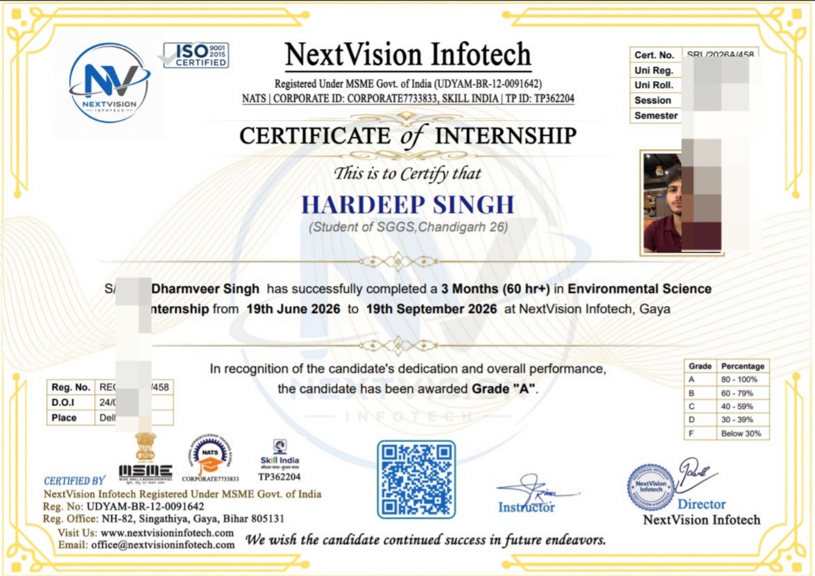
Internship Certificate
Tap to view
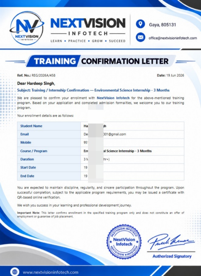
Joining Letter
Tap to view
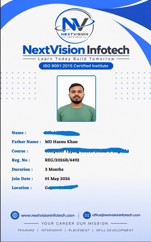
Student ID Card
Tap to view
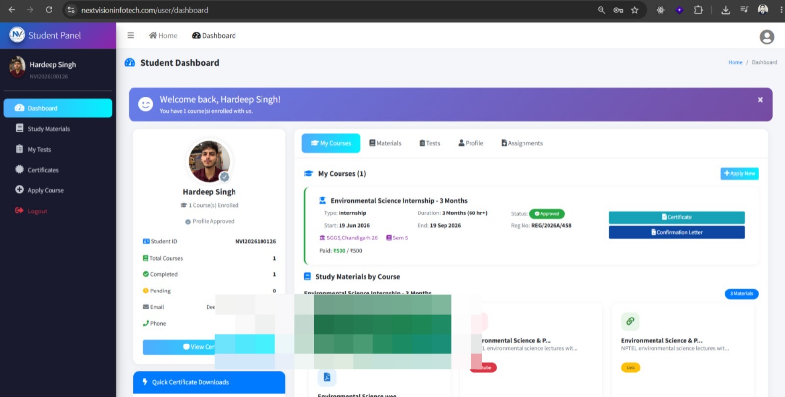
Student Panel
Tap to view
All certificates are issued by NextVision Infotech & are verifiable upon request.
Ready to Start Your Journey?
Take the first step towards your dream career with our internship programs